
Crestview ZIP Code Coverage
Two standard delivery ZIP codes use Crestview as the USPS preferred city. Their official county planning areas extend past the corporate line. ZIP 32536 includes central and urbanized Crestview as well as the surrounding Auburn and Silver Springs planning communities. ZIP 32539 covers the east and northeast Crestview postal area and the Dorcas planning area. Neither code by itself proves that an address receives city services.
| ZIP Code | Areas Covered | Post Office | Notes |
|---|---|---|---|
| 32536 | Central and urbanized Crestview; Auburn and Silver Springs planning areas | USPS preferred city: Crestview | Standard delivery; planning area crosses the city line |
| 32539 | East and northeast Crestview postal area; Dorcas planning area | USPS preferred city: Crestview | Standard delivery; postal area extends beyond city jurisdiction |
No Crestview-specific PO-box-only or unique institutional ZIP was verified. Nearby 32537 belongs to Milligan rather than Crestview. Current retail-station names and addresses also were not confirmed in the research, so the safe route is to verify a deliverable address through USPS instead of guessing from a station name.
Crestview ZIP 32536 Geography
The county's 2024 planning profile treats 32536 as more than downtown Crestview. Its geography includes nearby unincorporated Auburn and Silver Springs. That is why a record bearing “Crestview, FL 32536” may belong to Okaloosa County for addressing, planning, and services rather than to the incorporated city. Check the Property Appraiser parcel report's Tax District and compare the city-limit map before selecting a custodian.
This distinction changes where a request goes. Crestview assigns addresses within the incorporated city, while Okaloosa Growth Management assigns addresses in unincorporated territory. Postal delivery can stay the same across that line. A resident search based only on the city name can therefore combine city parcels with county parcels unless the ZIP code and jurisdiction are checked separately.
Crestview ZIP 32539 Geography
The official profile calls this “Planning Area 32539, Crestview/Dorcas.” It covers the east and northeast Crestview postal area and the Dorcas planning area. The paired name is a clear warning that a Crestview postal identity is broader than the municipal government. Use the same three-part check: USPS for mail, GIS for the exact site point and zone ZIP, and the parcel report for tax district.
Duplicate street numbers can also occur in different Okaloosa communities. County E911 documentation uses zone ZIP to distinguish them. Exact address points are stronger than a road's left-and-right number ranges, especially at multiunit sites where points may stack. Search the full street name and ZIP together when a street number produces more than one plausible result.
Verify a Crestview ZIP
The USPS ZIP Code Lookup is the authority for mailing codes. Enter the complete deliverable address, not just a city name. USPS answers the postal question; it does not settle whether the parcel lies within Crestview. The captured lookup screen shows the correct starting point for an address whose ZIP is uncertain.
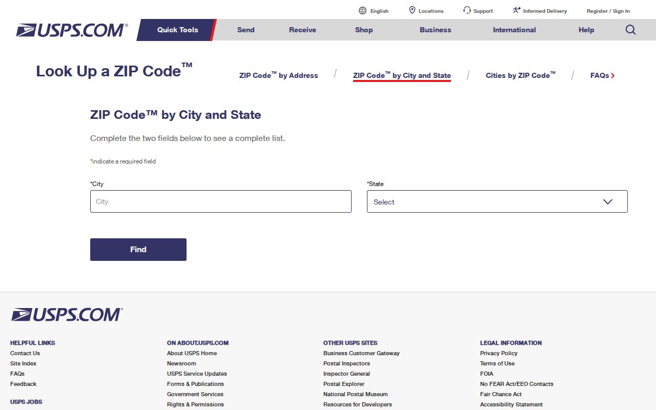
After USPS confirms the mail code, carry the exact address into county WebGIS. Match the site point, parcel, and tax district. This two-source check prevents the common mistake of treating a postal city as a city-limit determination.
Find Crestview Residents by ZIP
Official public tools do not provide one simple browse of every Crestview resident in a ZIP. The address-point service stores ZIP_CITY and ZIP fields and supports technical queries, but the inspected public WebGIS form did not expose a stand-alone ZIP filter. The Supervisor of Elections can explain available voter files or existing subsets, while protected people and fields are omitted. Agencies need not create a new database compilation under Chapter 119.
- Verify the full mailing address and ZIP through USPS. Do not infer a code from a nearby road or city label.
- Search the address, owner, PIN, subdivision, business, or street name in Okaloosa WebGIS. Confirm the site point and parcel.
- Review the parcel's location address, tax district, and other public fields. The tax mailing address is a contact address, not an occupancy claim.
- Ask the Supervisor of Elections whether an existing ZIP or precinct extract is available for a lawful request. Expect protected entries to be suppressed.
Once the postal area narrows to a road, use the Crestview street directory for the address-level chain. That workflow can connect a site to its parcel and deed without claiming every household member.
Crestview ZIP Fields in GIS
Okaloosa's address-point service includes SITE_ADDR, street components, ZIP_CITY, ZIP, parcel identification number, owner, use description, tax district, city, annexation fields, and fire, law, EMS, evacuation, and dispatch zones. It supports distance queries and pagination. Those fields make the service useful for checking one site or a bounded area, but they do not turn assessed ownership into a list of occupants.
| WebGIS Search | Input Rule | Best ZIP-Area Use |
|---|---|---|
| Find Address | At least two characters; autocomplete | Confirm one site within 32536 or 32539 |
| Find Owner | At least one character | Locate parcels tied to a known name |
| Find PIN | At least one character | Return to an exact parcel |
| Find Subdivision | At least one character | Narrow a named development |
| Find Street | At least one character; Zoom To | Inspect a road across a ZIP boundary |
The lack of a visible ZIP-only control matters. Do not promise an all-parcels-by-ZIP export from the ordinary interface. Search known addresses or streets, or ask the GIS and records custodians about an existing extract.
Map Crestview ZIP Boundaries
The 2026 Okaloosa street atlas is free and includes a grid street index, more than 60 maps, city-limit lines, and ZIP boundaries. Compare the symbols at the same scale. A parcel can keep its ZIP while annexation changes which local government has jurisdiction.
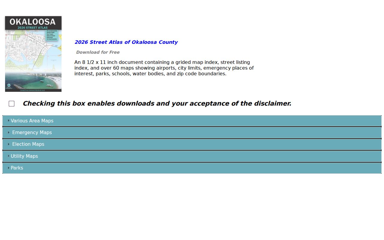
The atlas image is a practical bridge between the postal layer and the parcel search. Use its grid to find the road, then inspect the exact parcel in WebGIS rather than estimating from a broad boundary line.
Crestview Annexation and ZIP Records
Annexation changes city jurisdiction but does not necessarily change a ZIP code. The Foxwood Estates and Country Club annexation material identifies Ordinance 1775 and a July 13, 2020 council approval, with a referendum planned for November 3. The city also provides a petition path for eligible adjacent parcels. These records show why a stable postal label can sit over changing municipal lines.
Crestview's comprehensive plan describes zig-zag city and county boundaries that can confuse responsibility for roads, sanitation, streetlights, police, and fire. That local geography makes the ZIP code directory a starting layer, not a final jurisdiction test. For a dated question, check annexation ordinance, date, and notes in GIS or city records.
Population figures also explain why an old address list can age fast. Census QuickFacts reports a July 1, 2025 Crestview estimate of 31,193, compared with 27,134 at the 2020 census and 20,978 in 2010. The estimate was 13.8 percent above the 2020 base. QuickFacts also reports 10,893 households, 2.55 people per household, and 80 percent of residents living in the same house as one year earlier. These are city statistics, not totals for all postal addresses in 32536 and 32539. Never apply the city count to either whole ZIP planning area.
The difference matters when comparing directory years. Growth can add parcels, roads, subdivisions, and annexed land without changing the familiar Crestview postal label. Use the date printed on a planning profile, atlas, parcel roll, or voter extract, and keep city population measures separate from the wider ZIP geography.
Crestview ZIP and City Limits
A Crestview ZIP code does not establish city limits. ZIP 32536 extends into Auburn and Silver Springs planning geography, while 32539 reaches Dorcas. City and county address assignment also split at the incorporated line. Verify mail through USPS, inspect the site and zone ZIP in GIS, and confirm Tax District on the parcel report. For city-limit and zoning work, Crestview GIS offers maps and parcel information; the researched city fee was $15 for paper maps and $45 per parcel for a zoning and future-land-use information request.
The Crestview ZIP code directory therefore answers where mail is routed and how to narrow a search. It cannot prove city residency or name each person at an address. Parcel ownership, voter registration, and address points all have distinct gaps and privacy limits.
- ZIP vs ZIP+4
- A ZIP identifies a delivery area; the extra four digits narrow mail to a smaller delivery segment.
- PO-box ZIP
- A code assigned mainly or solely to post-office boxes rather than ordinary street delivery.
- Unique ZIP
- A code assigned to one high-volume organization. None was verified for Crestview.
- Carrier route
- A postal delivery path within a ZIP, not a city-limit or parcel boundary.